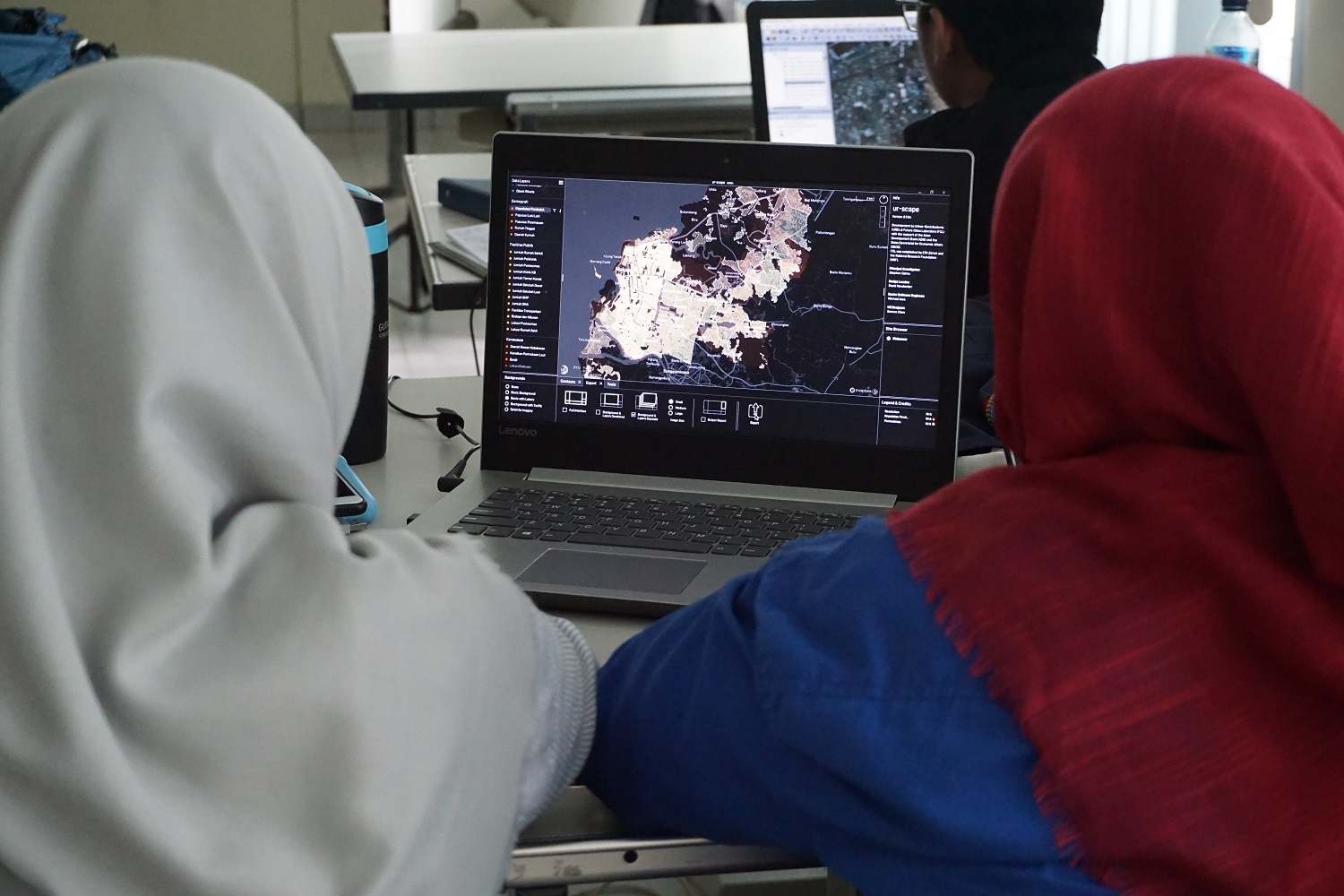
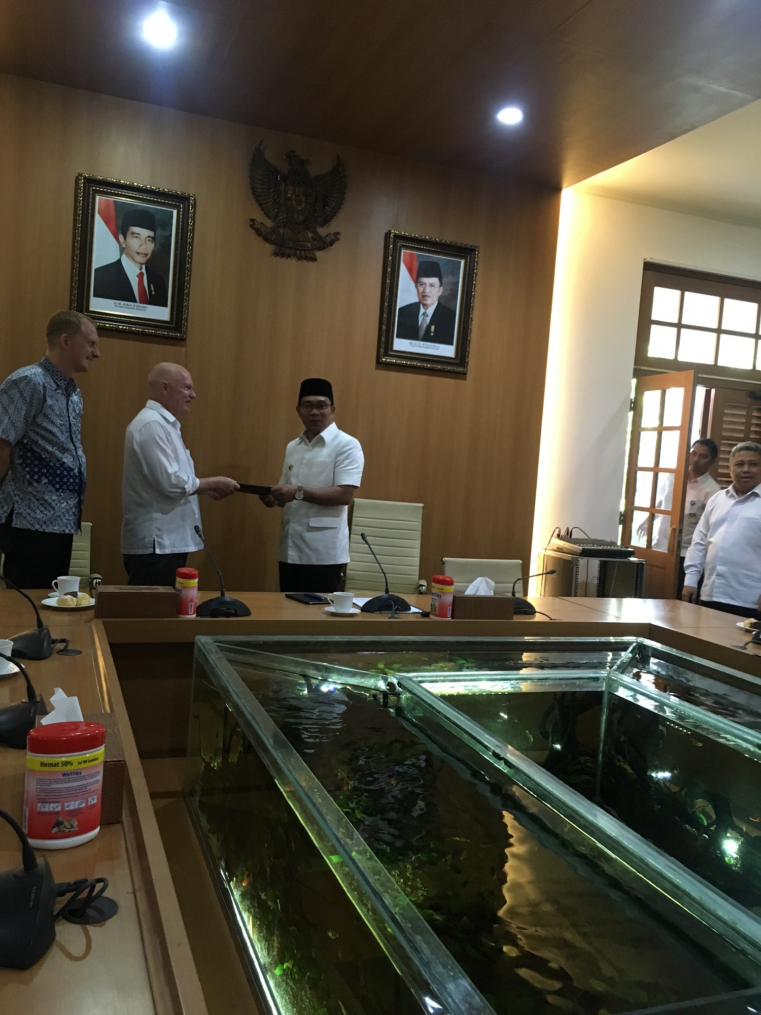
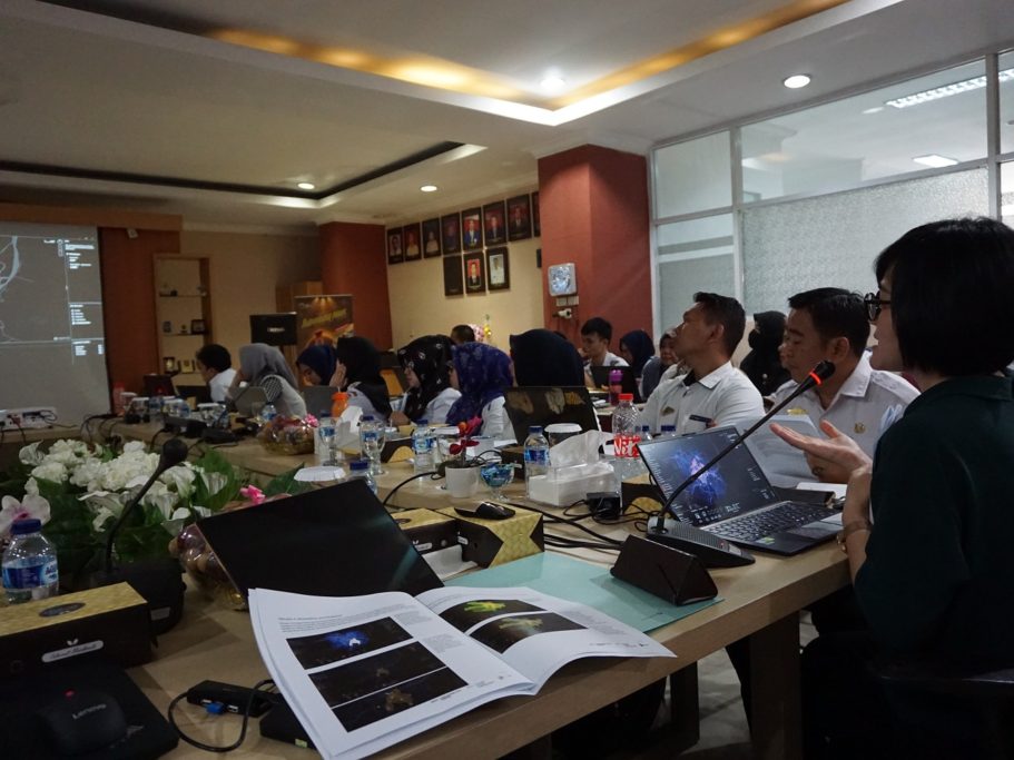
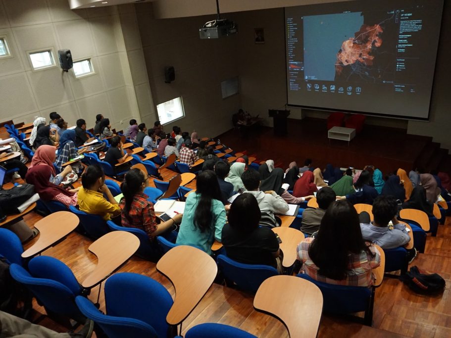
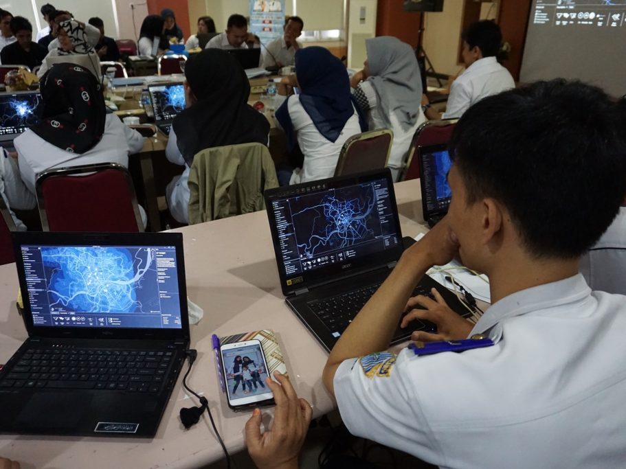
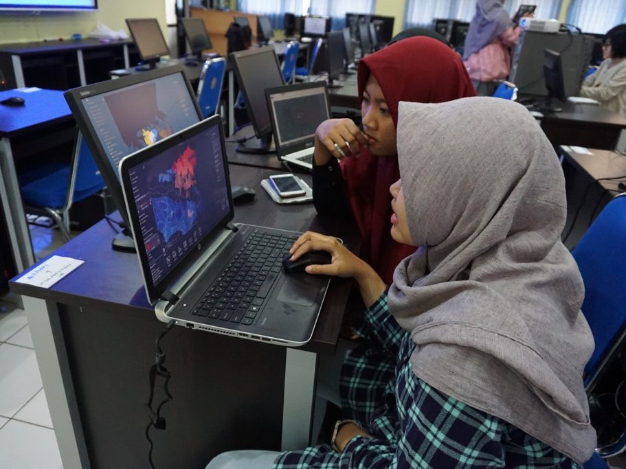
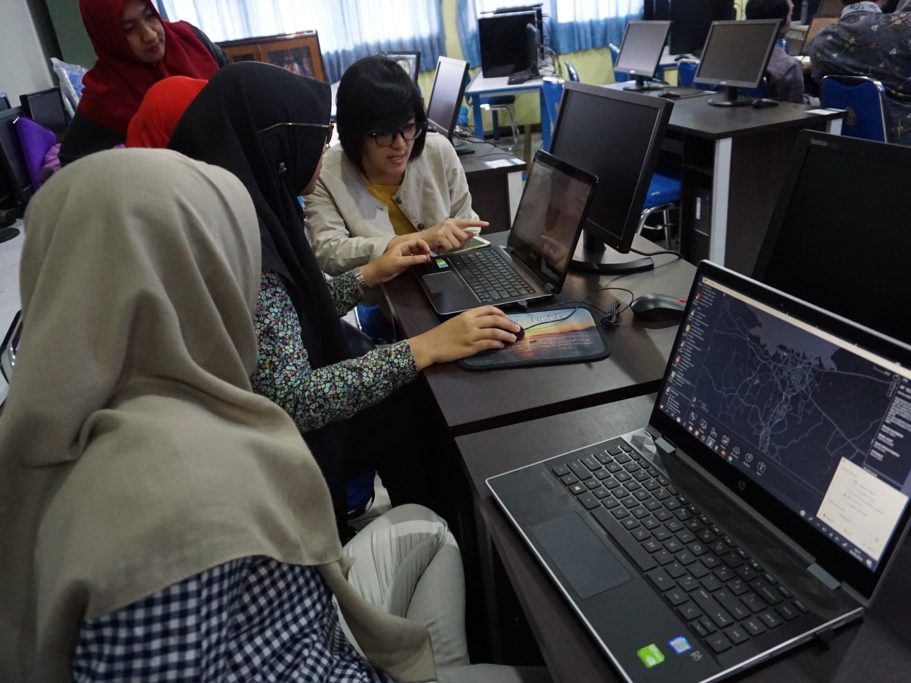
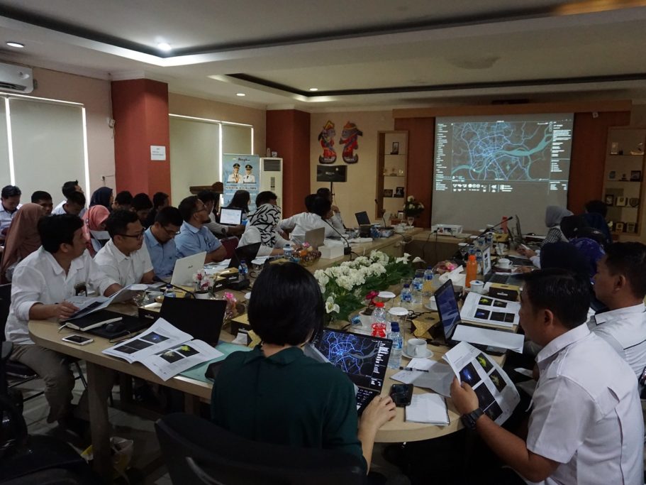
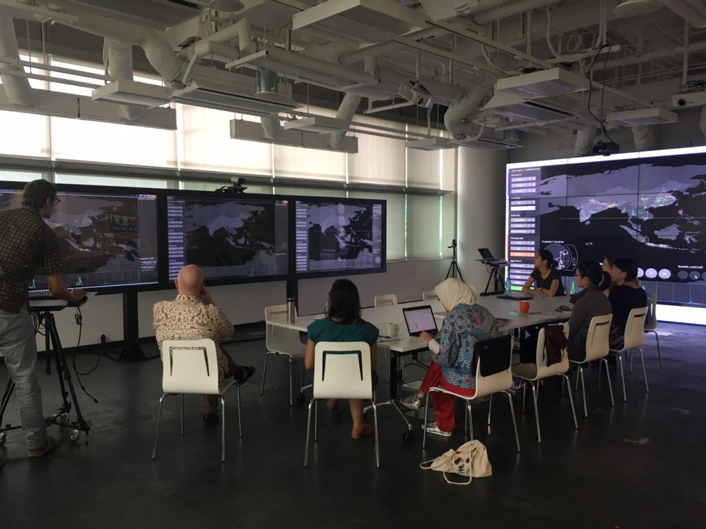
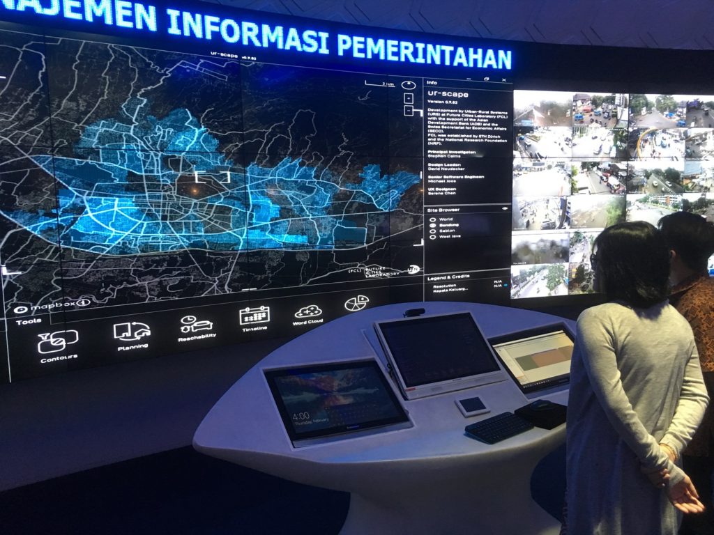
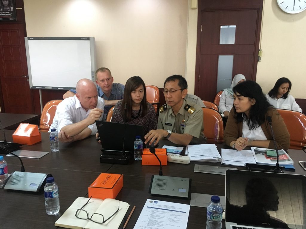
In the past two years, the Singapore-ETH Centre’s Future Cities Laboratory (FCL) has been co-designing and piloting a planning-support tool in four Indonesian cities: Bandung, Semarang, Palembang, and Makassar. With the support of the Asian Development Bank (ADB) and Swiss Secretariat of Economic Affairs (SECO), the FCL is working with the local Indonesian government to strengthen its local planning capability.
The planning-support tool, known as ‘ur-scape’, was developed by the Urban-Rural Systems group in the FCL to improve the planning process by leveraging technology for more evidence-based decision-making. The tool visualises diverse data sets by integrating different layers of data to help planners answer questions such as:
• Which areas need to be prioritised in terms of water provision?
• Which areas are the most vulnerable to flooding in relation to density and drainage condition?
• Which locations are the most suitable for future housing allocation?
Such questions help planners to identify “sweet spots” and “stress points” within a city, which help them to allocate appropriate land uses, as well as plan for infrastructure and public amenity provisions.

